
Structured Membership Workflow
Clean application steps, better form grouping, clearer approval messaging and more confidence for applicants.
LESIG exists to connect professionals, strengthen ethical and technical standards, support continuing development and provide a trusted institutional home for surveyors and allied experts.
Applications are reviewed by LESIG before approval. Your requested category does not become active automatically until it has been assessed and confirmed by the institution.
Start Application Explore Membership
Included souvenir: the official LESIG T-shirt is currently attached to registration, with room for more souvenirs to be added later.
The rebuilt interface is designed to support membership onboarding, approvals, public trust and long-term institutional growth.
Clean application steps, better form grouping, clearer approval messaging and more confidence for applicants.
Members can be verified through the institution’s records while public directory exposure remains consent-based.
Improved portal presentation, easier profile management, souvenir visibility and support access from a single place.
LESIG unites the major areas of surveying, engineering and geospatial practice under a coherent institutional framework.
Cadastral and land administration practice.
Measurement and positioning for engineering and construction.
Mapping, spatial information and geospatial analysis.
Image-based measurement and Earth observation.
Surveying of coastal, offshore and inland-water environments.
Surveying services supporting surface and underground mining.
High-precision positioning, reference systems and geodetic control.
Professional education, research and capacity development.
Standards, ethics, quality and professional representation.
Executive and institutional leadership can be managed visually through WordPress media and content tools.
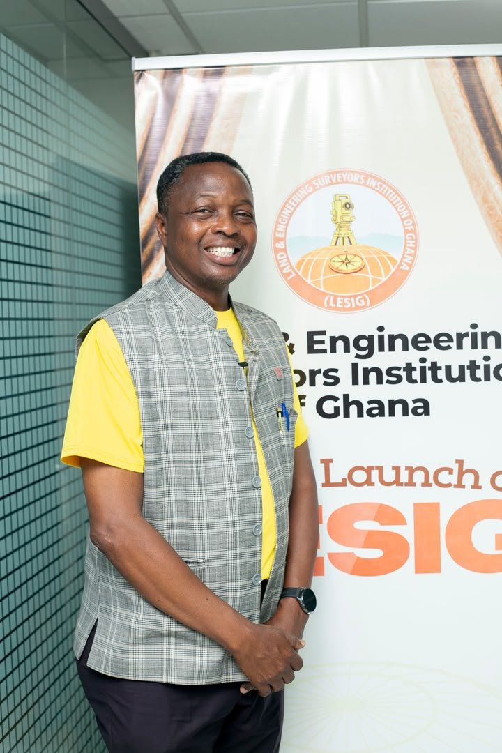
Interim President
Interim 1st Vice President
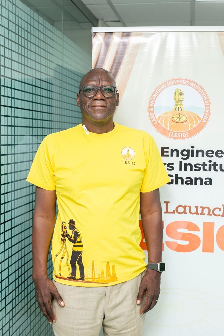
Interim 1st Vice President
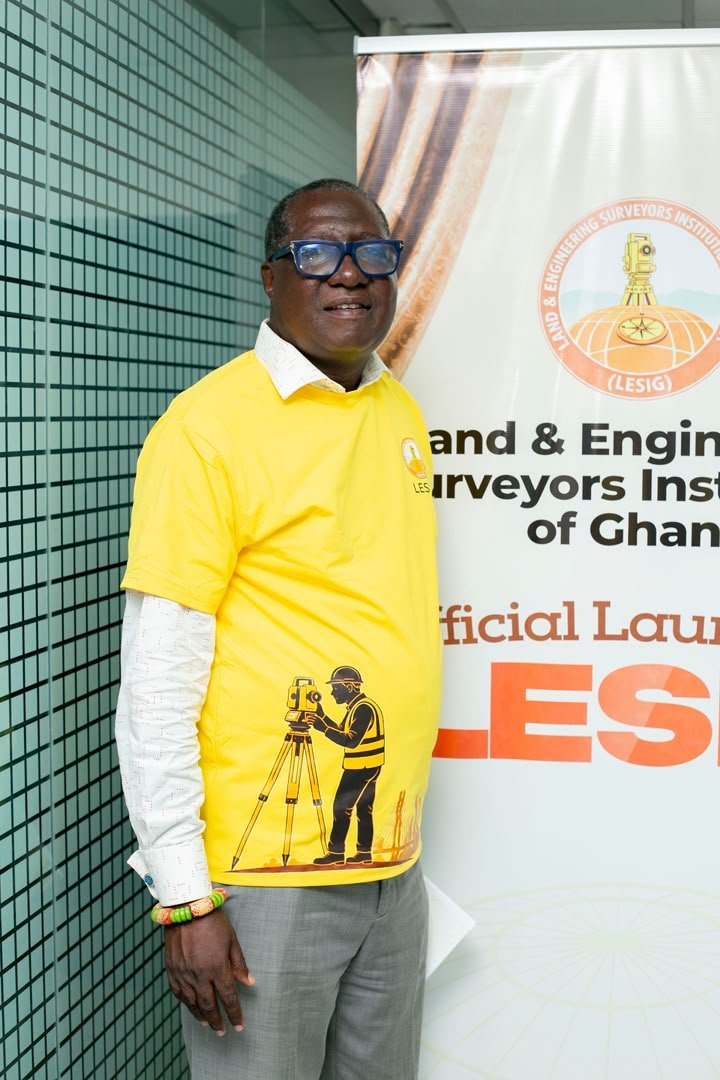
Interim Financial Secretary
Interim Secretary
Interim Welfare Officer
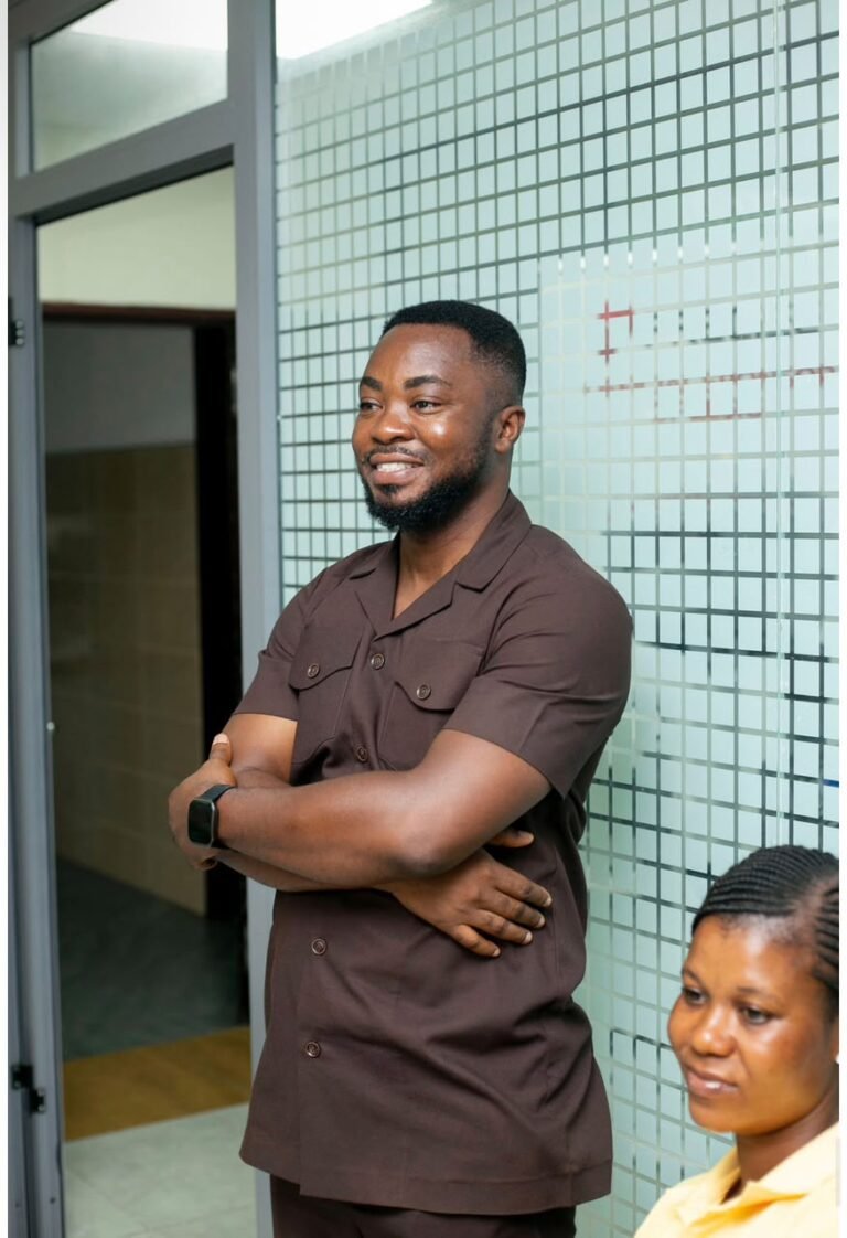
Interim 1st Organizing Secretary
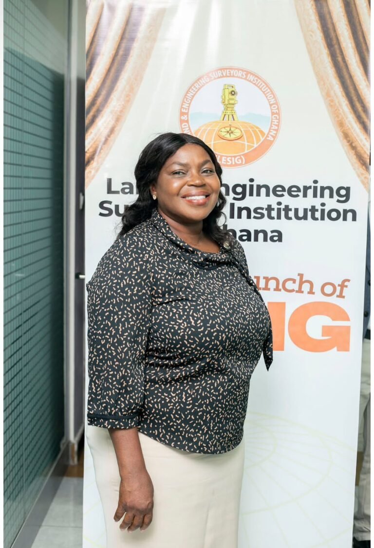
Interim 2nd Organizing Secretary
Chairman, Council of Elders
Council of Elders
Council of Elders
Council of Elders
Council of Elders
Council of Elders
Council of Elders
Council of Elders
Council of Elders
Council of Elders
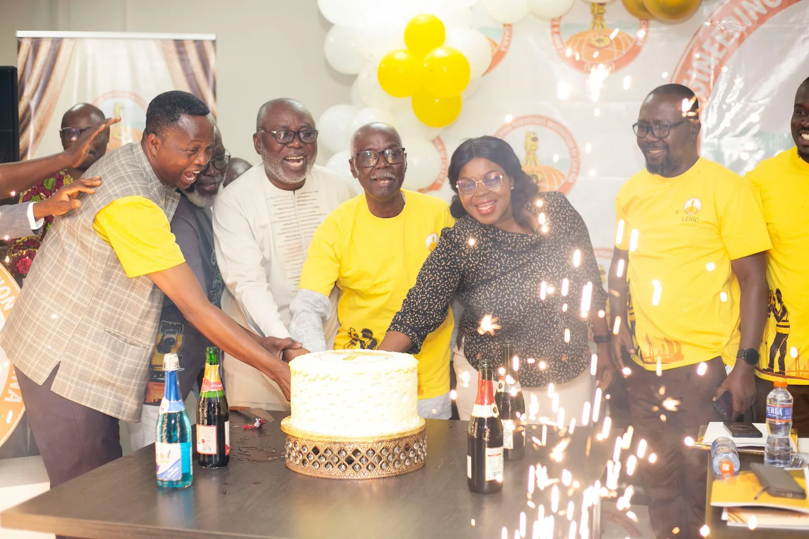
Showcasing launches, professional events, engagements and milestones across the life of the institution.
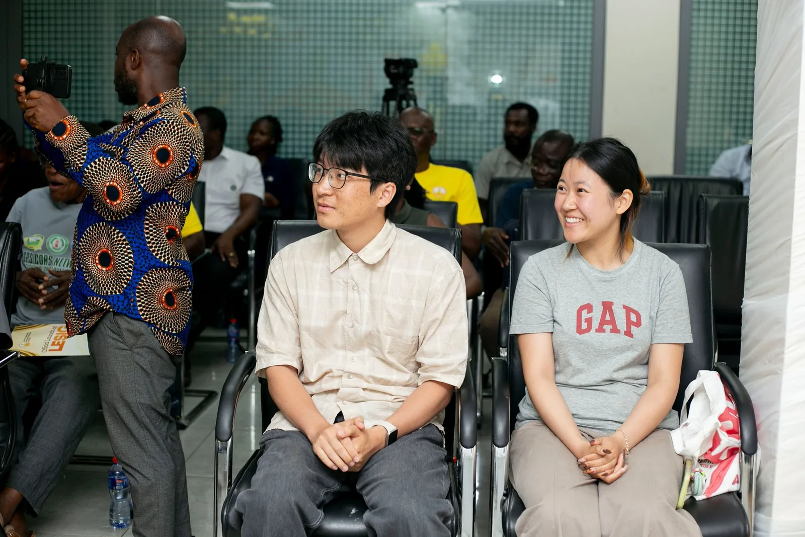
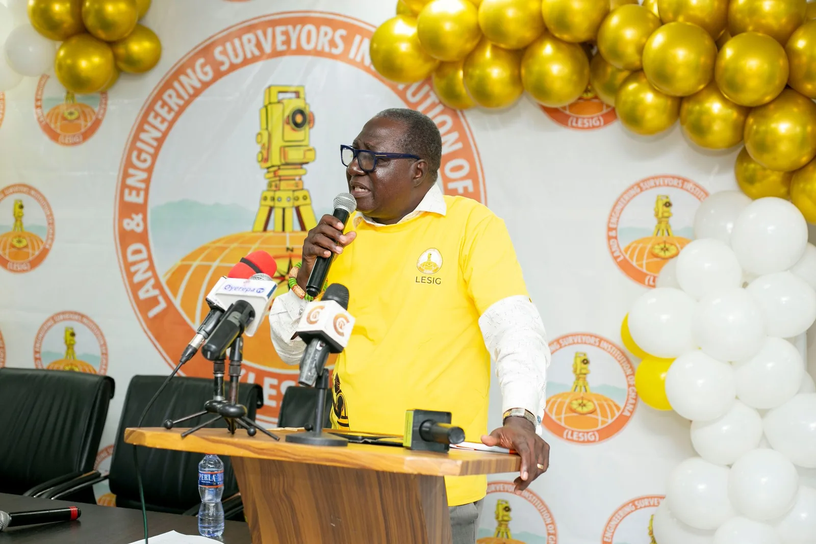
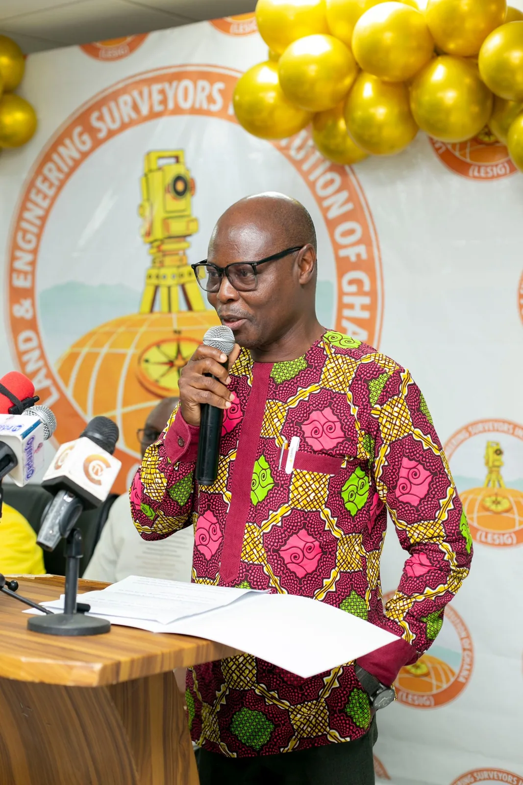
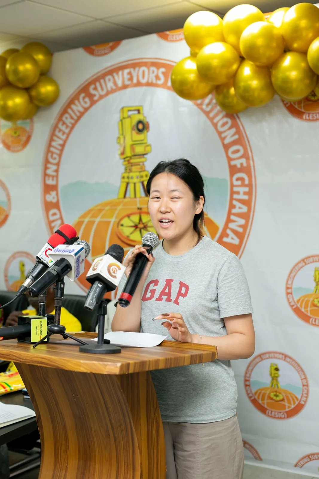
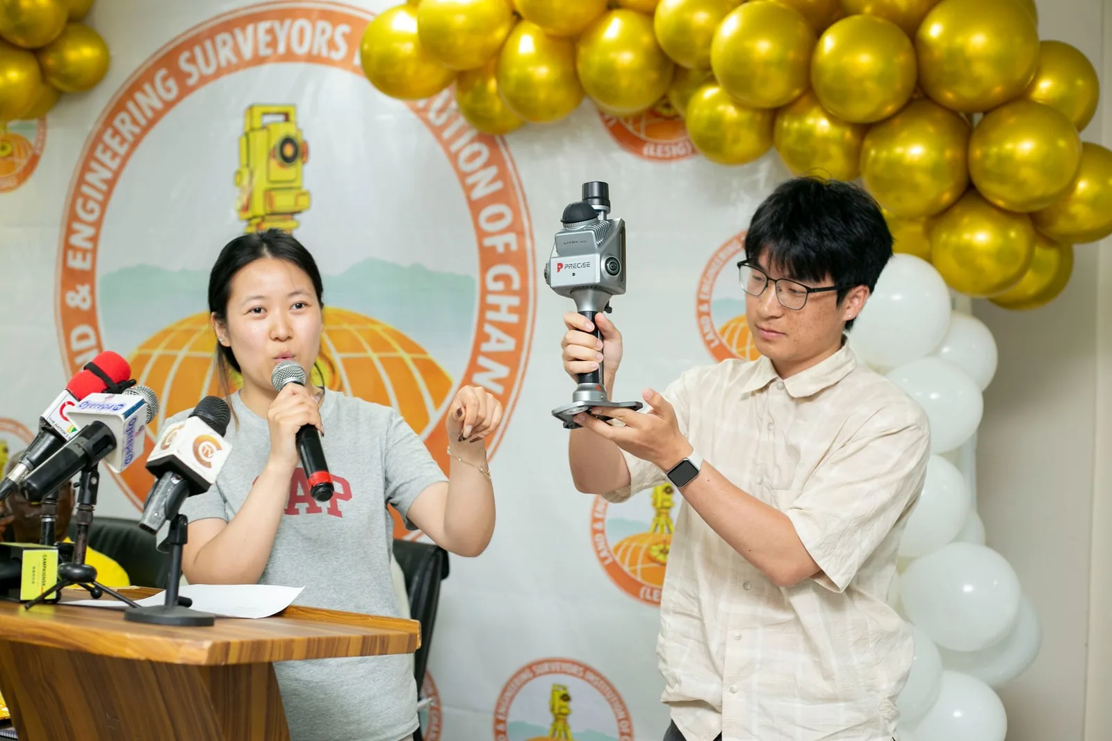
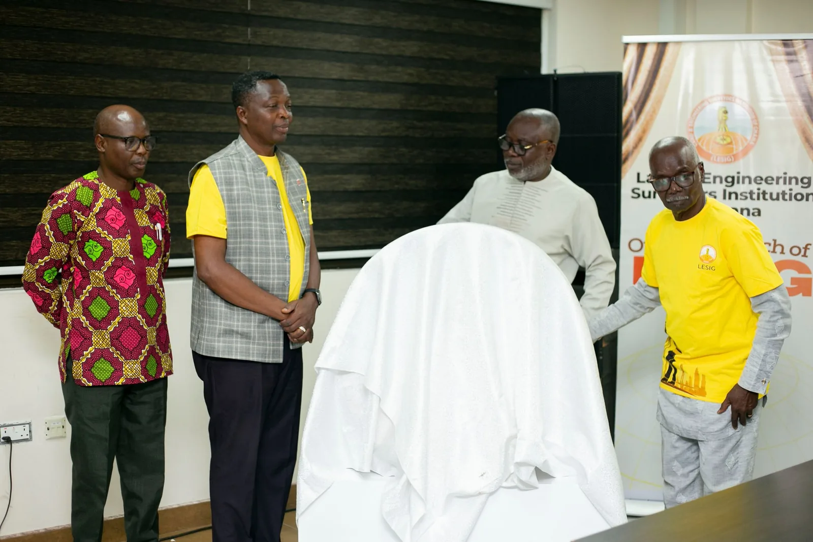
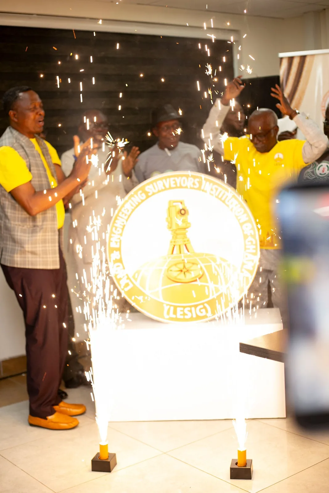
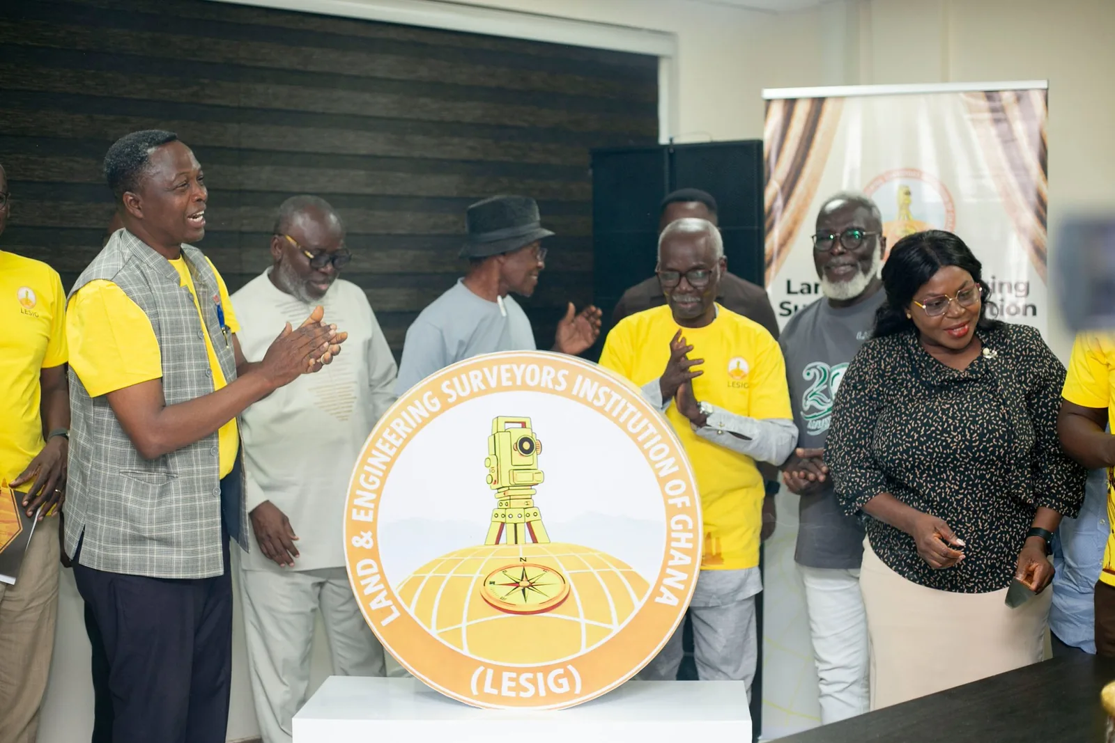
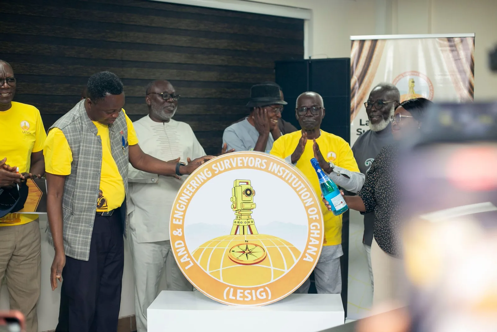
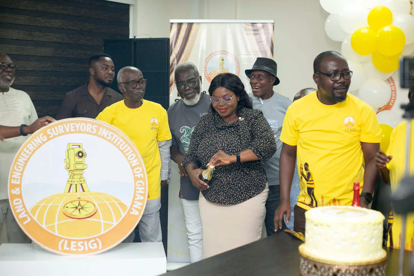
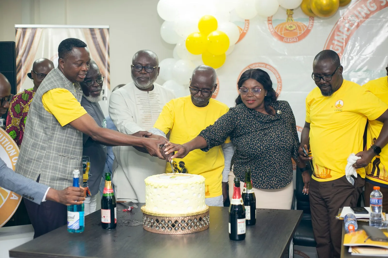
LESIG collaborates across the surveying and geospatial ecosystem while maintaining its professional identity and standards.

Professional and institutional connection
International Federation of Surveyors

Professional and institutional connection
International Society for Photogrammetry and Remote Sensing

National land-sector institution
Republic of Ghana
Build your professional profile, connect with the community and access institutional opportunities through a polished digital platform.
The location map is embedded for quick direction and easy public access.